Wednesday, July 27, 2005

OCEAN POINT, E. BOOTHBAY, MAINE


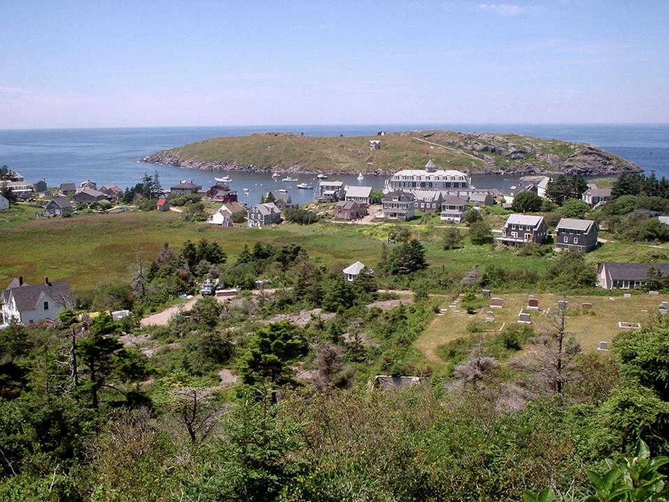
Looking toward the island's western shore.

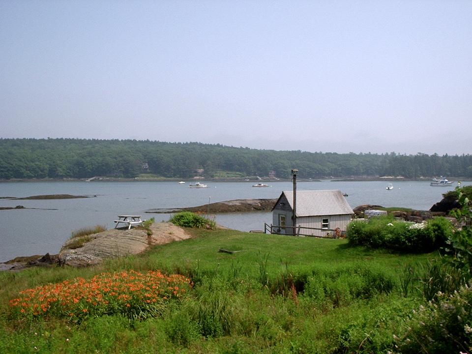
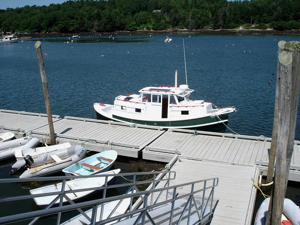
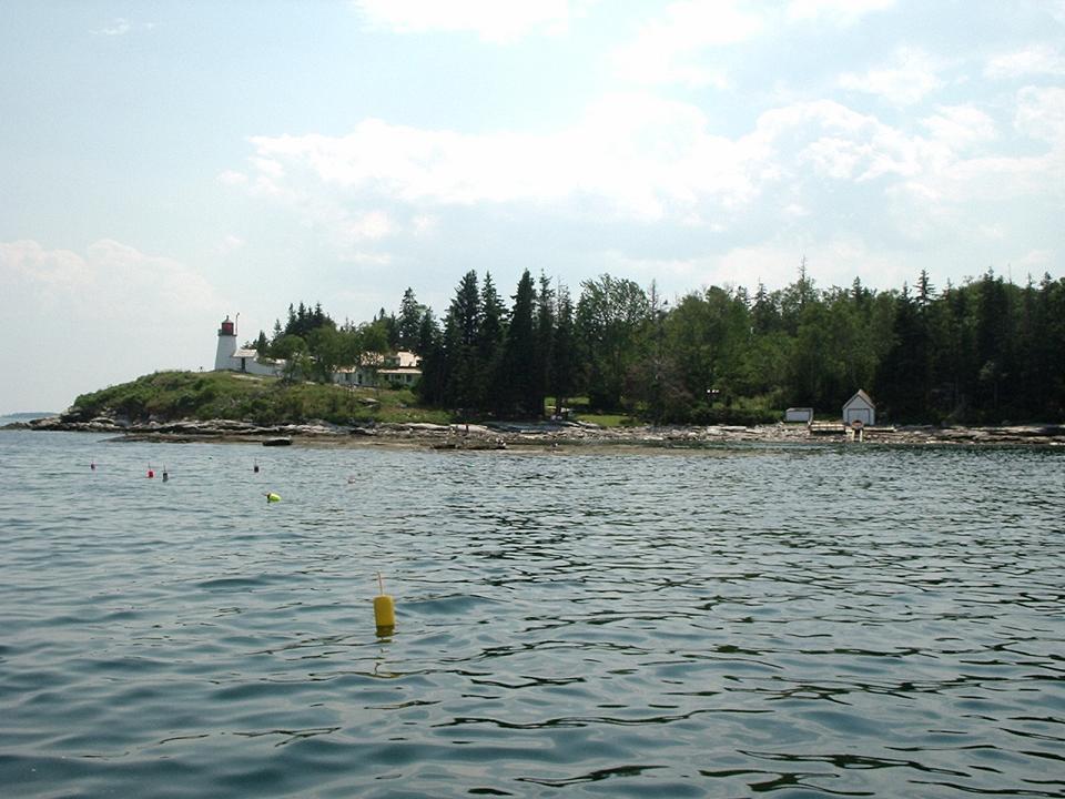
Ocean Point is a peninsula that juts into the Atlantic Ocean. There is about a one mile shoreline to walk that is one beautiful sight after another. The community has homes, B and Bs, an Inn, a few restaurants, a chapel, and a grocer.

Rocky Coast

Walter climbing the rocks along the shore. Many folks climb out to sunbath on the rocks. The water is icy cold.

Island Home

On Ocean Point, you do not think of the rest of the world. There is blue sky, the sweet smell of salt water, and cooling breezes. And if you were told, there are no electronics, televisions or telephone here, you would say, Of Course Not.

Waiting Kayak

Ocean Point is perfect for exploring by kayak as there are so many coves among the rocky coast line.

One Last Look.

This is a place that is hard to leave. While you are here, time stands still and all your responsibilities are put on hold.

BARTER ISLAND, MAINE


Fishing boats waiting out the fog.

This is the bridge from Boothbay to Barter Island. Commercial fishing boats are moored in the fog. Even the smallest of boats have radar to help them navigate through the often fog shrouded waters.

One on many lovely homes.

This small island is basically one road around the circumference of the island and surprisingly in many places the road is very steep. There are many summer homes along with many homes of year round fishermen and women.

View from Barter Island.

This is one of many water views.

Saturday, July 23, 2005

COLONIAL PEMAQUID - MAINE


Map of the coast of Maine including Boothbay Harbor and the Pemaquid area.
The Colonial Pemaquid Area is North of Boothbay Harbor as you can see in this map. The English setup a fishing station at Pemaquid - near the point where Fort William Henry was later built - about 1610. The place was full of Wabanaki indians and fish. In those days only the Basques from Norther Spain had been consistently fishing for cod and herring in Georges Bank and the banks off Newfoundland, so these fish were huge and abundant. Today cod is almost totally wiped-out and locals fear the cod fishery may never be back. You can also see that Pemaquid Point is the closest mainland to Monhegan Island that had been used as an English fishing base even earlier.

This is the Pemaquid Lighthouse at the tip of the rocky peninsula.

This is the mouth of the Pemaquid River. It empties into the Johns River and it then empties to the Atlantic by the Pemaquid Lighthouse. There is quite a tide and it is at its low point here.

The Pemaquid River has a fine harbor here. The English settlement and cemetery faced this harbor. Archeological digs here have uncovered many articles of daily living, fishing, and gun battles. There is one bullet with deep teeth marks from a wounded soldier. Biting the bullet (literally!) was the anesthetic in use then.

The Massachussets colony - - Maine was then part of Massachusets - stopped selling gunpowder to the Wabanaki after they had become dependent on it. This triggered serious war with them. This is the cannon tower of the partially rebuilt Fort William Henry built in 1692. It was destroyed by the French cannon barrages in a French and Wabanaki indian attack in 1696

The cemetery has gravestones with barely legible inscriptions. Some from the early 1700s. Interestingly none of the gravestones had any religious themes or signs of the cross, but several had an engraved skull at the top.

Today this colonial site is still a fishing harbor for lobster, but it increasingly is also a site for summer vacation homes and sailboats of Floridians and New Yorkers with money. These are the dinghies for boats at anchor in the harbor.

An interesting looking cabin boat at anchor at the lobster restaurant in Pemaquid Harbor

The Contented Sole Restaurant.
The restaurant is on an old lobster warehouse near the archeological digs on the Pemaquid. We enjoyed a great lobster lunch at this table on the pier.

At the restaurant pier waiting for lobster lunch at Pemaquid Harbor. The lobster we ate may have been caught right behind Teri.

Friday, July 22, 2005

MONHEGAN ISLAND, MAINE


The harbor between Monhegan and Manana Islands.

Monhegan Island is a 90 minute boat ride in the Atlantice Ocean from Boothbay Harbor. The island has 65 year round residents and double that in summer plus the tourists staying at the two hotel/inns and a few B and Bs.

Manana Island across from Mohegan had been inhabited by a hermit tending sheep until the 1980s when he passed away.

---White Head Cliff as seen from the Ferry.

This is the back side of the island that faces out to the Atlantic Ocean. The swells from the ocean can be quite significant on this side, and all are warned to stay out of the water and not climb on the slippery rocks.

---On the footpath to White Head Cliff.

Walter on the footpath to the cliffs of White Head. This path goes through a forested area with abundant and beautiful flowers along the walkway.

---View of Coast from the Cliff at White Head.

This was a most spectacular sight that cannot be fully appreciated from this picture that is viewed from 160 feet above the ocean. The Atlantic crashes into this rocky coast, and the waters in that area are many shades of blue.

---The Swirling Sea Below.

Straight below the top of White Head, the ocean creates an eddy effect as it swirls into this cove of rocks.

---The village on Monhegan Island.

View of the village from the path down from White Head. The few roads on the island are similar to this path and there are only a few trucks on the island to deliver items to stores and the hotels/inns.

---One of Many Flower Gardens.

Most of the houses along the streets of the island have beautiful flower gardens and great variety of flowers to enjoy while strolling.

---Sailing off the waters of Monhegan Island.

This day the waters of the Atlantic were gentle and calm with light breezes--just perfect for sailing.

Sunday, July 17, 2005

BURNT ISLAND LIGHTHOUSE - BOOTHBAY HARBOR MAINE


Approaching Burnt Island
This is one of the last lighthouses in Maine to become automated. From early 1700s, a lighthouse keeper and his family lived year round on this small island which is about 7 miles from Boothbay Harbor. The Keeper worked 7 days a week and always had to be on the island during fog, storms, and darkness to help guide ships through the harbor entrance.

-- Meeting the Lighthouse Keeper


There are individual actors representing a real life family that lived on the island from 1936 until mid 1950s. They had 4 daughters and one son. This representation is from the early 1950s and one son and one daughter had married and live on the mainland. All operations at the lighthouse at this time, were manual so this was quite a physical job which had to done in all types of weather conditions. Even during the winter, the keeper had use a small boat to go the 7 miles to Boothbay Harbor where he could get fresh supplies.

-- View from atop the Lighthouse

This is the view from the top of the lighthouse looking out to the Atlantic Ocean. Each lighthouse had its own timing of blinking ligh and timing between fog horn sounds. This was the way ship masters could determine there location along the shore.

-- Mom doing laundry


Mom had this early type washing machine where soapy water was on one side, then you put the clothes through the ringer, rinsed in clear water on the other side, and put through ringer one final time. No refrigeration, fireplace heat only, no indoor plumbing-- the usual amenities for that time.

-- Daughter making Strawberry Rhubarb Pie


The oldest daughter living at home was the mom's main helper in the house. The mom and daughters lived in an apartment in town for the winter so the children could go to school. The weather was much to rough and cold to travel back and forth to school each day. If the weather was good on the weekends, the Keeper would come into town for the day to visit with his family. You had to be tough to live this life.

-- Daughters showing their family transportation


The other two daughters were showing the "visitors" to the island their families' boat used to go back and forth to Boothbay Harbor. A distance of 7 miles. This was their only way to get to town for supplies, doctor, school, etc. These girls helped their dad by filling the fuel bottles that kept the lighthouse light supplied and helping outside with garden and general yard maintenance. The facility was owned by the government and the family was responsible for keeping everything in top notch condition.

-- The shore line of Burnt Island


This island was unique in that it had a rocky shore which provided a granite foundation for the lighthouse. However, the rest of the island was grassy and wooded providing a varied environment. Trees slowed the winds down and grassy areas could be used for gardening.

-- One of the nearby islands


This is typical of nearby islands-- rocky with trees, but no one living on them. It was an existence that required self-reliance and a family that worked well together. A life like this really does build character and develops survival skills. For sure, this life is not for everyone.

Monday, July 04, 2005

SAILING LAKE CHAMPLAINE IN OUR FRIEND'S 30 FOOT SLOOP


Our Vermont friends Robert and Thea graciously invited us to sail with them in their beautiful sailboat. Here we are departing the Lake Champlain Yatch Club (LCYC - click on the Link below to find out more) anchorage after Walter, Robert and Thea took a dip in the 60 degree waters. We lost the picture of Walter diving head first into the water. Our friends sailboat is a Bahamas class 30 foot sloop with a 10 foot beam and 5 foot draft. It is a floating RV with a sleeping cabin and kitchen conveniences. When becalmed it runs under diesel power. All lanyard winches are manual. I helped with some rope handling and had to pull at times with a force that felt like 50 lbs. Here I am standing on the bow. Teri and Roberts heads are visible in the back deck.

--- After leaving the protected waters of the LCYC harbor we passed the cliffs of Red Rock VT State Park. Some adventurous kids dive from the cliffs into the fresh cold waters 75 ft below.

--- We arrive in Burligton Harbor. This is a busy area full of anchored vessels, people sailing, and ferry traffic to and from Port Kent, New York. Here is an arriving ferry passing us. By this time the wind was much stronger than at departure, and now we have to sail against it - a neat trick for a sailboat called tacking where it slips slightly to the left or right of the direct incoming wind.

--- Robert guides his sailboat during tacking in the open waters of Lake Champlain. The boats heavy keel deep under water keeps the boat upright and resists being pushed sideways by the wind incoming from the front port direction.

--- On the return leg the southerly wind had increased to about 10 knots. You can see how much our sailboat was leaning as it made quick progress with both sails unfurled.

--- Thea is steering course to the Lake Champlain Yatch Club anchorage for the final leg of our sailing cruise

VISITING QUEBEC FRIENDS NEAR MONTREAL CANADA


Montreal Canada is only a couple of hours North of Shelburne VT. We traveled there to visit our friends from Quebec. We met them last year during our Summer in Quebec and had a great time together. Here they are with Teri in front of their new Fifth Wheel in their Summer site near Montreal. Behind them is a field of pretty yellow Cannola flowers. Teri brought the chocolate mouse desert.

--- Nicole prepared T-bone grilled steaks for us in her own RV kitchen. For desert we had the chocolate mouse cake and we shared a bottle of French wine. This is the dining area in their new Fifth Wheel. Real and Nicole stay near Montreal in the Summer. Their grown children live in the area. In the winter they live in central Florida in their Florida RV.

--- This is a "balansoir" or similar. It is quite popular in Quebec. We had never seen it before until we arrived in Quebec. Here people sit with their friends and chat for hours as they rock in their front garden. As you can see the table rocks together with the seats so they play cards or hav their wine glasses on the table as they rock. Sometimes they have a flower vase on the table. Teri and Real (pronounced with the stress on the last silable) are to the left.